How to Use Picarta
Step-by-step guide to finding where a photo was taken with Picarta's AI - upload, narrow the search, review predicted GPS coordinates.
Read more →Guides, articles and documentation about Picarta's AI photo geolocation.

Step-by-step guide to finding where a photo was taken with Picarta's AI - upload, narrow the search, review predicted GPS coordinates.
Read more →
The most accurate AI image geolocalization model in the world - vision transformers powering 44.8% accuracy at 1km.
Read more →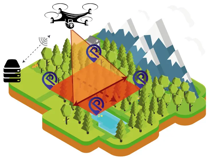
Get precise GPS coordinates for drone and satellite images using AI.
Read more →
Our mission, technology and story behind the AI photo geolocation tool.
Read more →